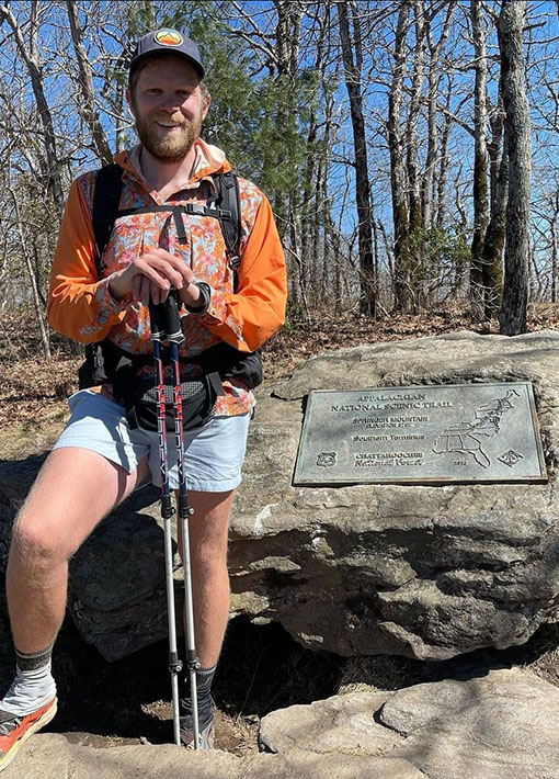
Shorter Hikes Along the Appalachian Trail
I know that the greatest barrier to embarking on a thru-hike is time. Most people aren’t able to step away from their lives for 5-7 months to follow white strips of paint through the woods every day. Some folks dream of it in retirement, some use a career transition to switch things up. Wherever a person is in life, there’s always time for a section hike. These are great to get a taste for the trail, as the full dream is planned out or as a shakedown hike for the big dance. I’ve spent the majority of my time on the AT in thru hikes, but I do also have some experience with shorter trips.
Not only is this list great for those that don’t have the time to do a full thru-hike, these routes are also great for shakedown hikes. If you’ve got an upcoming thru-hike and are in the area, these are perfect to make sure you’ve really got your gear dialed in. These trails will give you a great range of what to expect from the Appalachian Trail and include as far south as Amicalola Falls and as far north as the Hundred Mile Wilderness and Mt. Katahdin. You’ll want to be bear aware and prepared for inclement weather along this list.
RECOMMENDED SHORTER TRIPS
Standing Indian Loop
Location: Nantahala National Forest, near Franklin, NC
Distance: ~25 miles
Difficulty: Moderate to strenuous
Elevation Gain: ~4,389 ft
Time: 2-4 days, depending on your pace and stops
Best Time to Visit: Spring (April-May) and Fall (September-November) for mild temperatures and vibrant foliage.
Permits: Not required, but camping is first-come, first-served.
Trailhead Access: Parking is available at Standing Indian Campground.
Water Sources: Streams and springs are plentiful, but always treat or filter water.
This has become my go to weekend trip for showing off the AT. It’s a feasible distance to do for folks in any shape, though depending on timing, can be a good push. It passes by multiple shelters, and thanks to the circuitous nature of the AT, almost the entire loop is on the AT, with a short stretch under 10 miles connecting points along the AT.
Starting at Standing Indian Campground, the loop combines the Kimsey Creek Trail and the Appalachian Trail (AT), featuring highlights like Albert Mountain’s fire tower, Standing Indian Mountain’s panoramic summit, and Long Creek Falls. You can complete the loop in 2-4 days depending on your pacing. If you’re able to stretch it out into 8-9 mile sections you’ll get plenty of time to take breaks at the high points. The trail has ample water sources, so don’t worry about carrying extra water weight just be sure to treat your water before drinking. This section of trail has abundant wildlife, including black bears, so proper food storage is essential. Be sure to carry a bear canister or be prepared to hang your food before embarking.
There is primitive camping throughout the trail as well as the AT shelter system but be sure to camp on already established sites instead of veering off trail for a stealth site. Always check the weather before going on any backpacking trip and ensure you’re got weather appropriate gear with you. This section is known to have dynamic weather so rain gear and insulated layers are encouraged. Although the Appalachian Trail features a lean-to shelter system you should always be prepared to camp in an established site with your own shelter should the lean-tos be closed or occupied.
Notice: The Appalachian Trail throughout North Carolina, Tennessee, and Southwest Virginia has been heavily impacted by Hurricane Helene. For current trail conditions and closures, please visit: https://appalachiantrail.org/trail-updates/ga-va-tropical-storm-helene/

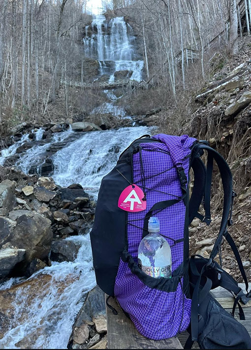
Amicalola Falls, Frosty Mountain, and Springer Mountain Loop
Location: Amicalola Falls State Park, GA
Distance: ~18 miles
Elevation gain: ~4,005 ft
Difficulty: Moderate to strenuous
Time: 2-3 days, depending on your pace and stops
Best Time to Visit: Spring (March-May) for wildflowers or Fall (September-November) for foliage.and vibrant foliage.
Permits: Overnight hikers can register for a backcountry permit at the Visitor Center.
Trailhead Access: $5 daily parking fee at Amicalola Falls State Park.
Water Sources: Streams and springs are plentiful, but always treat or filter water.
Being an East Tennessee native, it should come as no surprise that my recommended stretches of the AT are near my home town. I always prefer a loop route when backpacking, and this iconic section of the AT is pretty darn close. There is a bit of out and back on the route, but the majority of it is still loop, following the approach trail from Amicalola Falls and returning on an alternate trail. This stretch includes several shelters and iconic landmarks of the AT, including both Springer Mountain and the famous Arch behind the visitor center. It’s also a more simple distance to easily squeeze into a weekend.
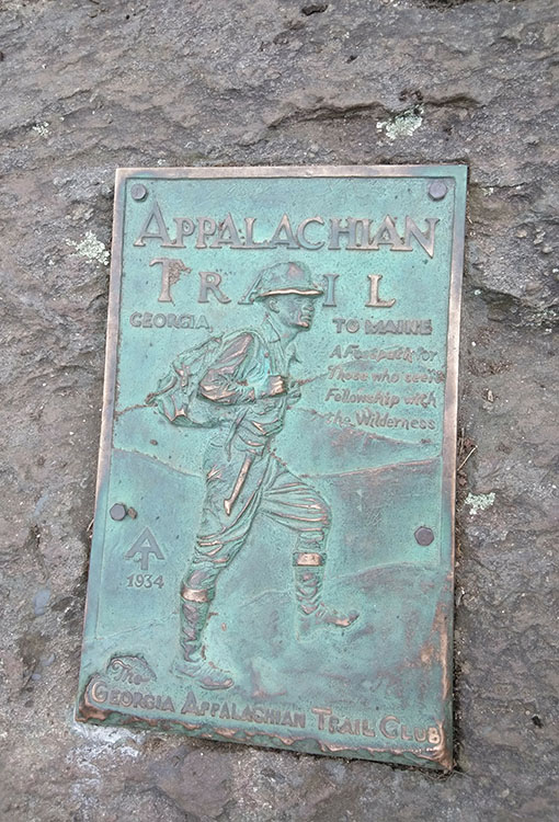
The Amicalola Falls, Frosty Mountain, and Springer Mountain Loop is in Georgia’s Chattahoochee National Forest and gives you a real sense of what it’s like at the start of an AT thru-hike.It’s a select few AT thru-hikers that include the approach trail into their thru-hike attempt. Most start or end at Springer Mountain and call it done. There’s something magical about the short section of the approach trail that starting at Springer just doesn’t capture. Not only will you get to see the official Springer Mountain Plaque, you’ll also experience hiking up a ton of steps with too much food and gear. It’s the real deal!
Be bear aware in every section you step on of the AT. Hard sided bear canisters are the best method for preventing you from sharing your food with a bear. Typically food hangs are done so poorly that bears get them anyway or rodents find their way in. If you’re going to commit to the PCT food hang, be sure you’re well practiced before embarking on this iconic overnighter.
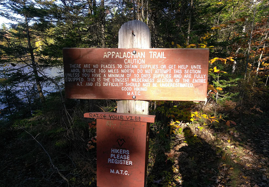
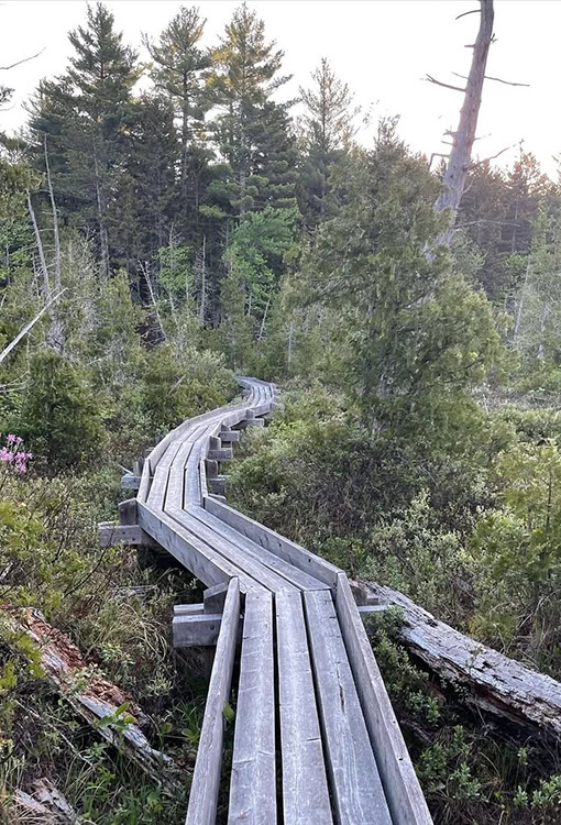
The Hundred Mile Wilderness
Distance: ~100 miles
Location: Northern Maine, from Monson to Baxter State Park
Elevation gain: ~15,803 ft
Difficulty: EXTREME
Time: 4-10 days depending on your mileage and food carry.
Best Time to Visit: Late June to early October (avoiding blackfly season and harsh winter conditions). Most likely to encounter thru-hikers in this time.
Permits: Not required for the trail itself, but Baxter State Park requires reservations if you plan to hike Katahdin.
Trailhead Access: Southern Terminus: Monson, ME (trailhead parking available). Northern Terminus: Abol Bridge (shuttle services available to/from Monson).
Water Sources: Streams and springs are plentiful, but always treat or filter water.
This is a longer stretch for folks with a bit more time and desire for something really special along the AT. If anyone only had 7-12 days for travel and hiking to see the coolest part of trail, this would be my recommendation. It includes some rugged climbs in the southern end, but actually flattens out as it nears the iconic Mount Katahdin. This stretch is packed with shelters and gorgeous lakes, and is the most wildernessy stretch of the entire AT. Even so, local hostels (Shaw’s being the most prominent) offer resupply drops near the middle of this stretch so hikers don’t have to pull off a bear of food carry. Maine is absolutely stunning, and this is one of the prettiest stretches of trail in the country. If you hit it at the right time you’re likely to meet thru-hikers finishing their hike and can even summit up to Mt. Katahdin from here and experience the Northern Terminus.
If you don’t plan to organize a resupply point, be prepared to go all the way through. There is no resupply option in this section and accordingly you need to ensure you’re in shape and ready to hike 10+ miles a day with food rations to accommodate. Although this is still an incredible section, keep in mind that thru-hikers northbound are typically in the best trail shape they’ve ever been in and can still take up to 6 or 7 days to pass through this section. Safety is always the concern when entering the backcountry.
This section is especially known by hikers to have dynamic weather conditions and tons of rodents/wildlife along the shelters. Be sure you’ve got rain gear and insulated layers as well as proper food storage and protection.


0 Comments